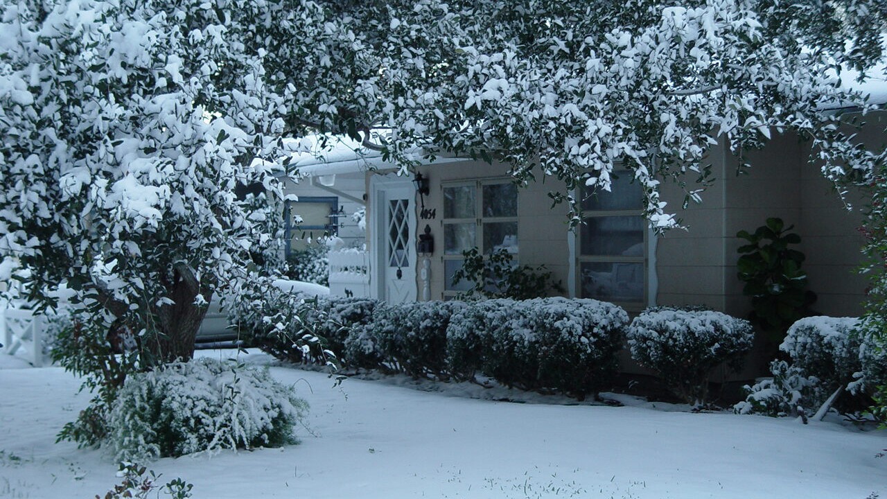
CORPUS CHRISTI, Tx — Snow in South Texas? That sounds unusual, and it sure is!
However, it’s not impossible and we have seen it happen before. One of the more memorable events was the Snowstorm of 2017. The passage of a cold front that slowly moved through our area activated winter weather.
It was the morning of Dec. 7, 2017 that the cold air was beginning to plunge through, and we were able to experience a wintry mix of rain and snow that fell down some areas locally.

Most of the Southern Coastal Bend received at least an inch of snow. The heavier bands of snow occurred in portions of Kleberg, Nueces, and San Patricio counties where higher totals were recorded.
The atmosphere was so unstable that we even experienced thundersnow where lightning was reported at the Corpus Christi airport.

Another historical event was from our second white Christmas on record back in December 2004. Snow accumulation of at least 4 inches occurred over many areas, with a total of 4.4 inches recorded at the Corpus Christi airport. The highest totals were recorded inland and north of Corpus between 6-12 inches!
An arctic air mass dropped our surface temperatures in the low to mid 30s, which would be enough for frozen precipitation to occur. That combined with an upper-level disturbance resulted in a white Christmas for the Coastal Bend! Read more here.
WILL WE SEE A WHITE CHRISTMAS?
So what are the chances we see anything remotely close to winter weather happening this holiday season?
Well currently we are forecasted to be under a La Nina winter weather pattern. During a La Nina the Pacific Ocean temperatures are cooler, which affects weather patterns across the world. In the winter the effects of La Nina are strongest when the jet stream is strongest over the United States.

Essentially this means colder temperatures north west and north central U.S. with more storm activity. But, not so great news for us in the south where we experience warmer and drier than average conditions.
If La Nina does emerge data from NOAA dating back to 1959 shows that La Nina Winters have had above average snowfall for the northern tier of the US and drier below average conditions for us in the southern tier.

Additionally, we have to factor in that winter seasons continue to go on a warming trend and less snow is falling each year, with most winter precipitation falling as rain instead of snow.
Here is a look at NOAA's seasonal outlook, indicating that we will likely experience above-average temperatures and below-average precipitation through February 2025.

A closer look at the next two weeks through Christmas Day indicates the same. Considering this, we just won’t be cold enough by the time Christmas comes around to give us that glimmering hope of a white Christmas.
We are entering our “drier months” so even if we do see rain in the upcoming weeks it won’t be significant and with warmer temperatures snow is very unlikely.


